![]()
Land Divisions
![]()
| Province |
|
Civil Parishes |
| Church Parishes |
| Dioceses |
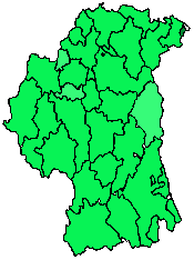
| Baronies |
| Poor Law Unions |
| Superintendent Registrar's Districts |
| Electoral Divisions |
| Cities and Towns |
|
Townlands |
![]()
Search the IGP County Armagh website
|
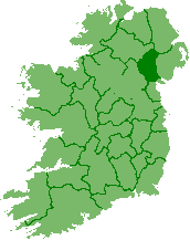
PROVINCE |
![]()
![]()
![]()
![]()
![]()
|
POOR LAW UNIONS (click here to go to the PLU webpage) |
![]()
|
SUPERINTENDENT REGISTRAR'S
DISTRICTS
(see PLU webpage) Civil registration of births, marriages and deaths in Ireland are compiled by the Superintendent Registrar's Districts, also called the Registration District. These districts in the 19th century had the same names and boundaries as the Poor Law Unions. They were divided into local Registrar's Districts. |
![]()
|
ELECTORIAL DIVISIONS
(see PLU webpage) |
![]()
![]()
|
TOWNLANDS |
![]()
Pat Connors, IGP Co. Armagh Coordinator
If you have Co. Armagh townland info that you
would like to contribute to this site, use below email.

![]()

©2001-2016Connorsgenealogy,
Ireland Genealogical Projects