-

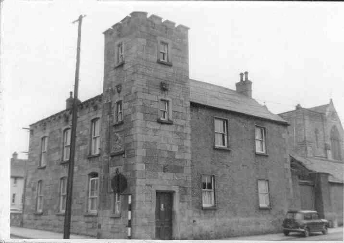
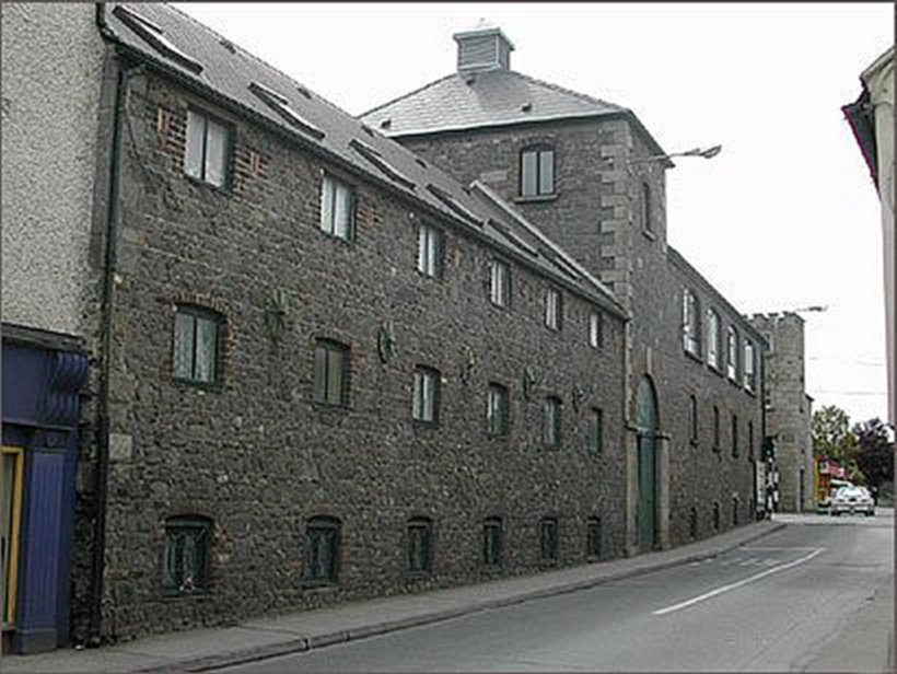
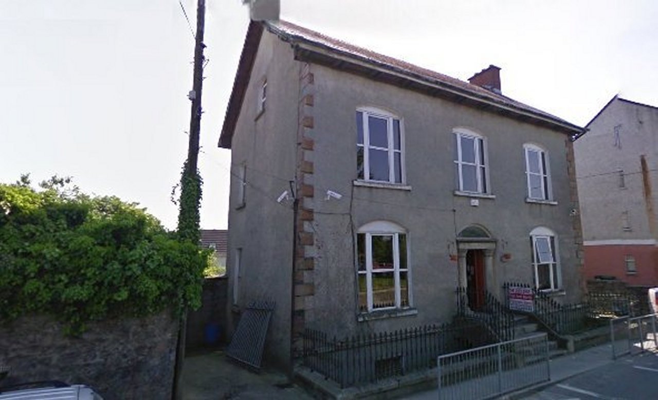
- Tower Hill, Graiguecullen.
- Formally the home of the old Royal Constabulary
(R.I.C) barracks on the corner of Killeshin Road
and Chaff Street, Graiguecullen.
- It was built in 1867 by Rowan McCombe
from Ulster who used the building to operate his own printing works.
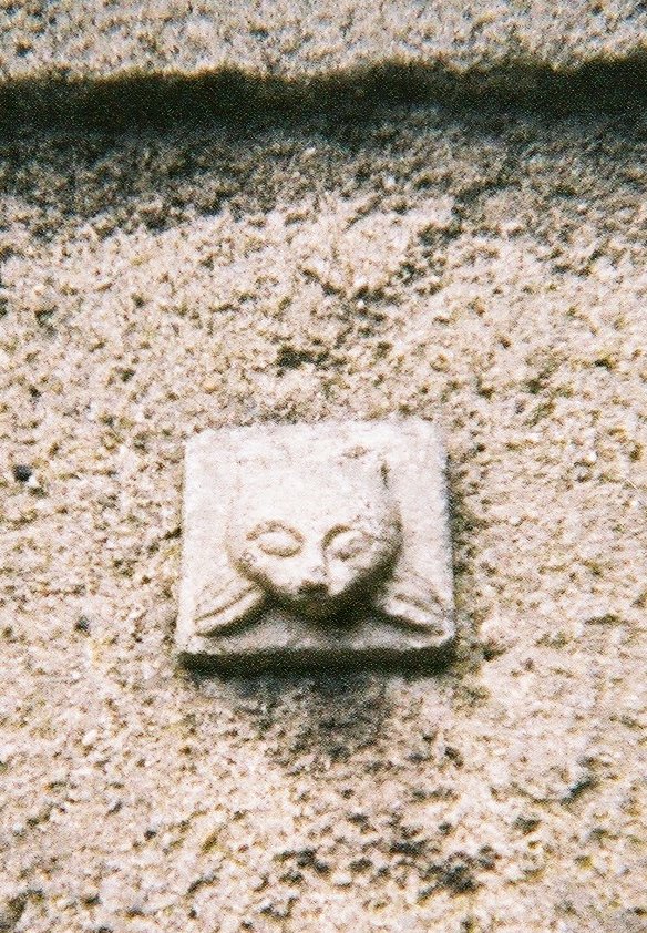
- Built of granite cut stone, it is
decorated with gargoyle style heads. On the Chaff Street side of the
tower there is a plaque with the inscription underneath: Erected A.D.
1867 by Rowan McCombe.
- Donated by "Carloman"
|
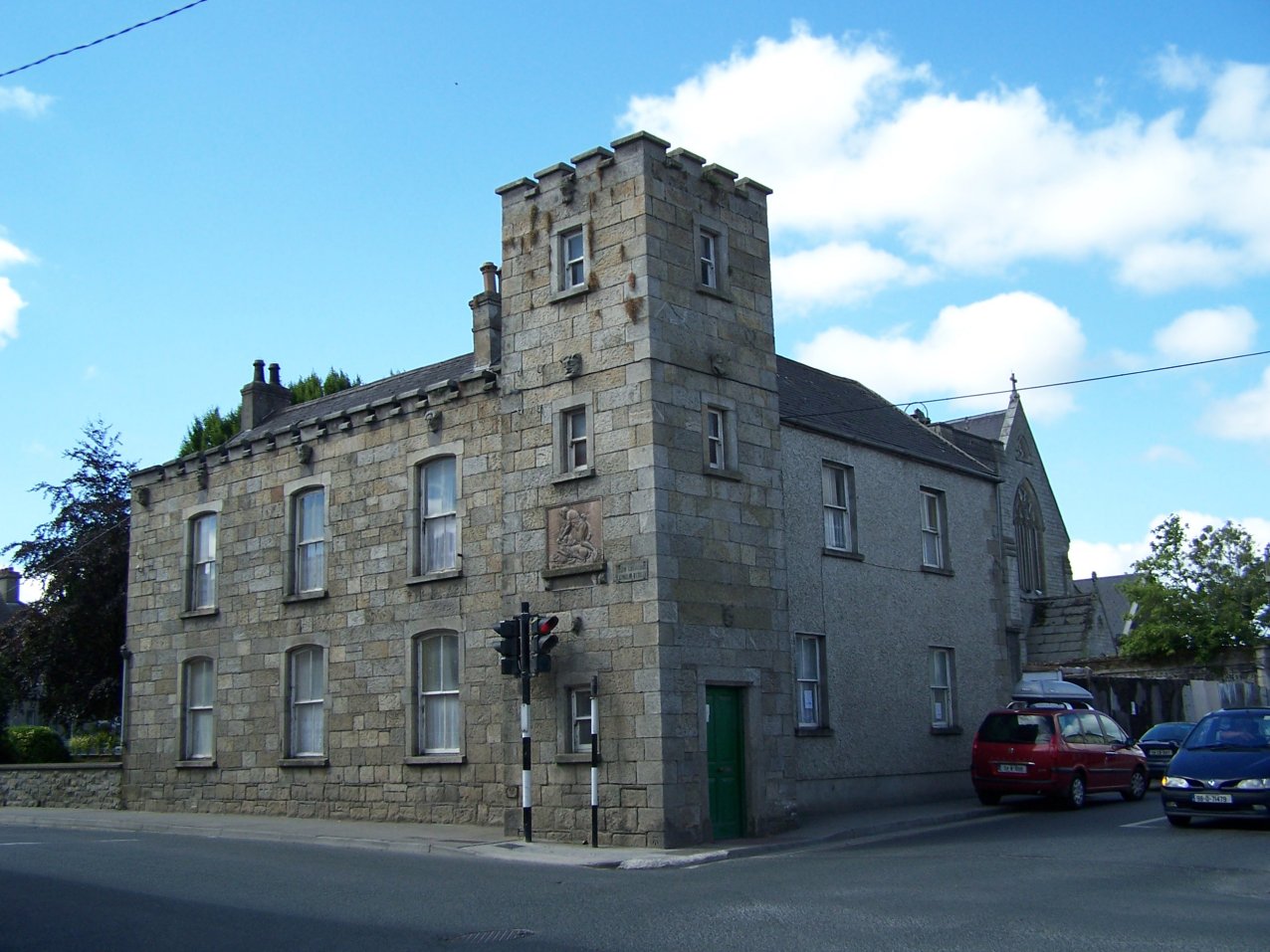
-
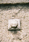
- Tower Hill (rear). Rowan McCombe
incorporated Gargoyles and other grotesque images as ornamental
decoration on the barracks. Usually such figures would act as water
spouts carrying rainwater away from a building, in former times such
figures were erected usually on church buildings as protection from evil
spirits.
- The image was taken by Peter Walker in Sept
2008.
|
-
-
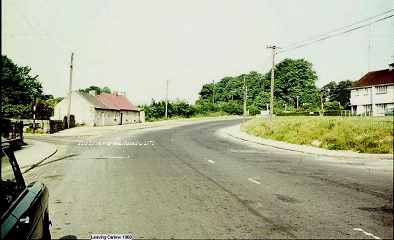
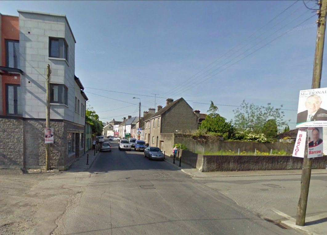
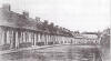
This is the view you would
have seen in 1968 as you left Church Street, Graiguecullen going
towards Ballickmoyler into County Laois. The street on the left is St. Fiacc's
Terrace and the street on the right is St. Clare's Road which leads
into Governey Park housing estate.
-
The house up on the left was known as
Brennan's was demolished in 1972 to make way for a Petrol Station.
This house once had a thatched roof.
- (Photo W. Muldowney)
|
-

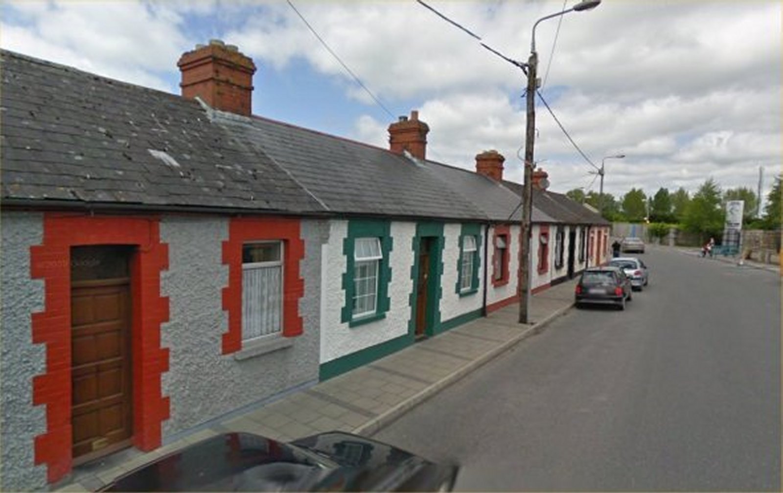
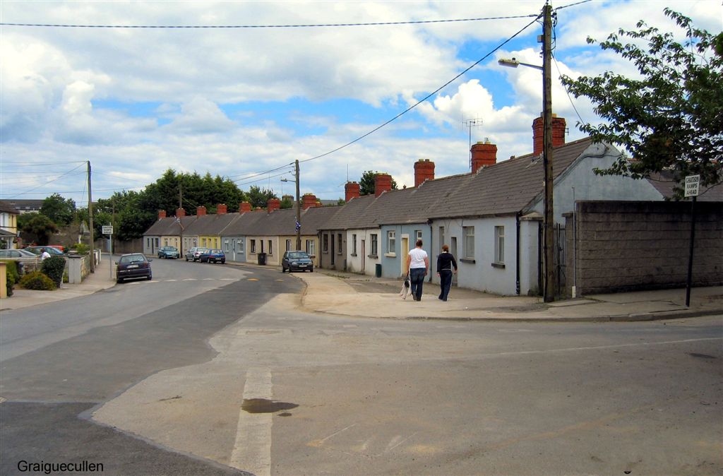
- Sleaty Street 2009
|
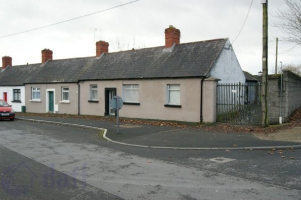
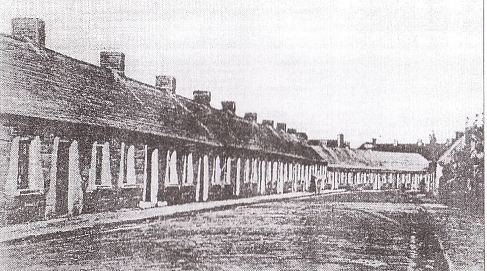
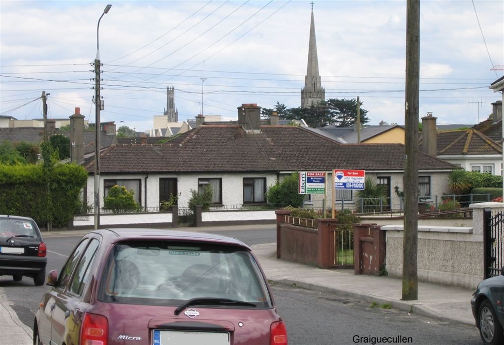
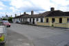
The Numbers, Graiguecullen |
-
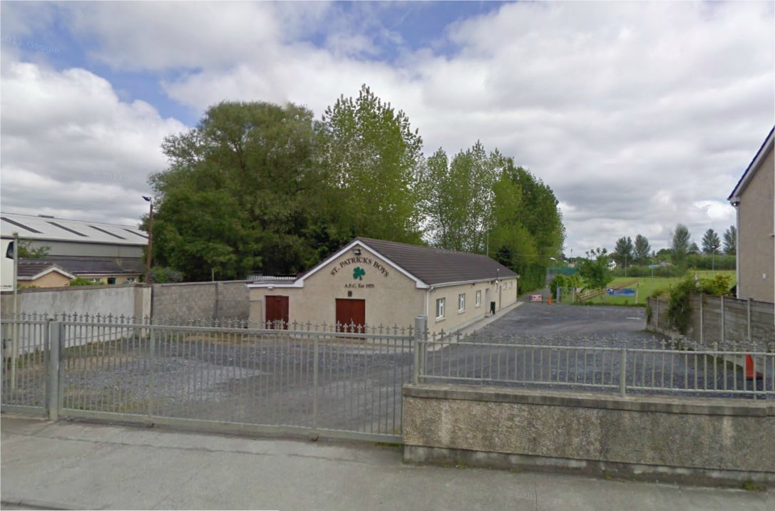
St. Patricks Boys club on Sleaty Street,
Graiguecullen.
|
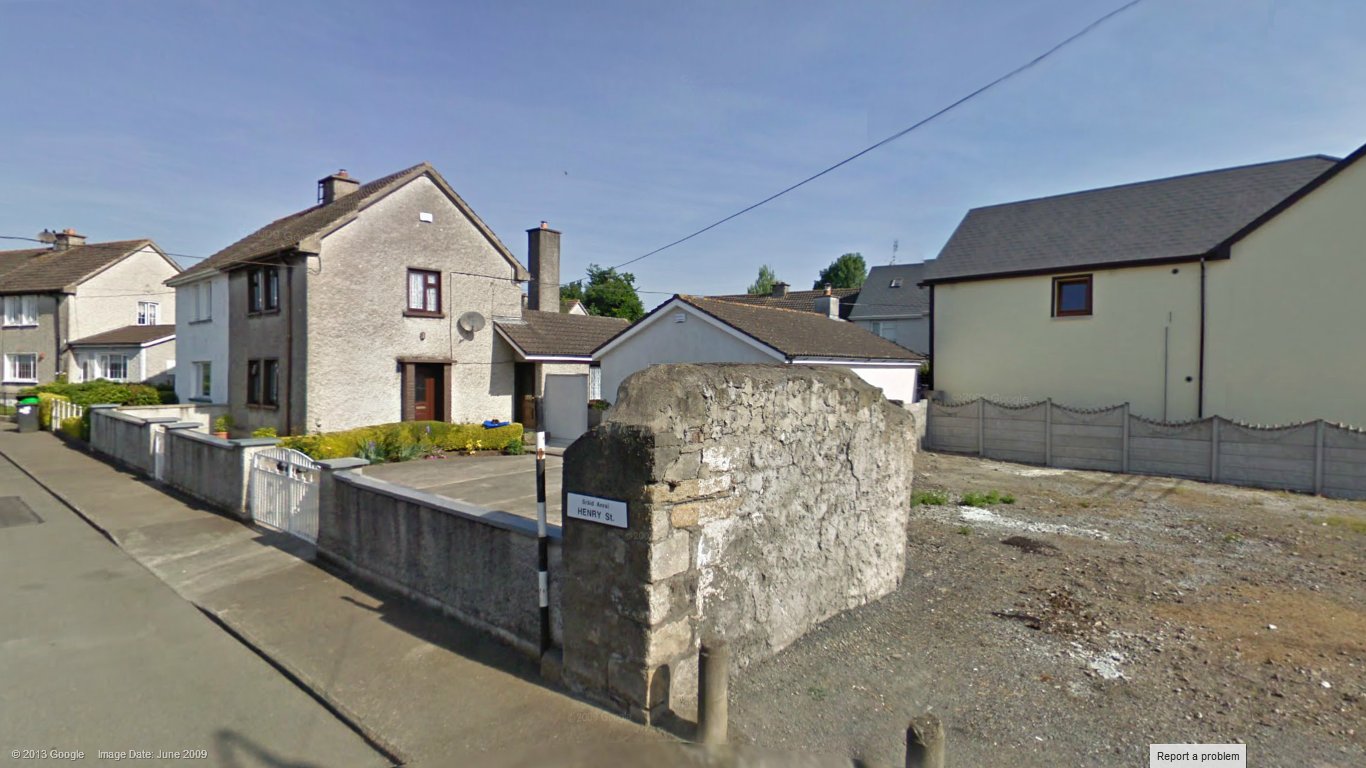
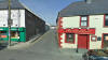
Henry Street c.1901.
Source: Gary Sétanta Heary
|

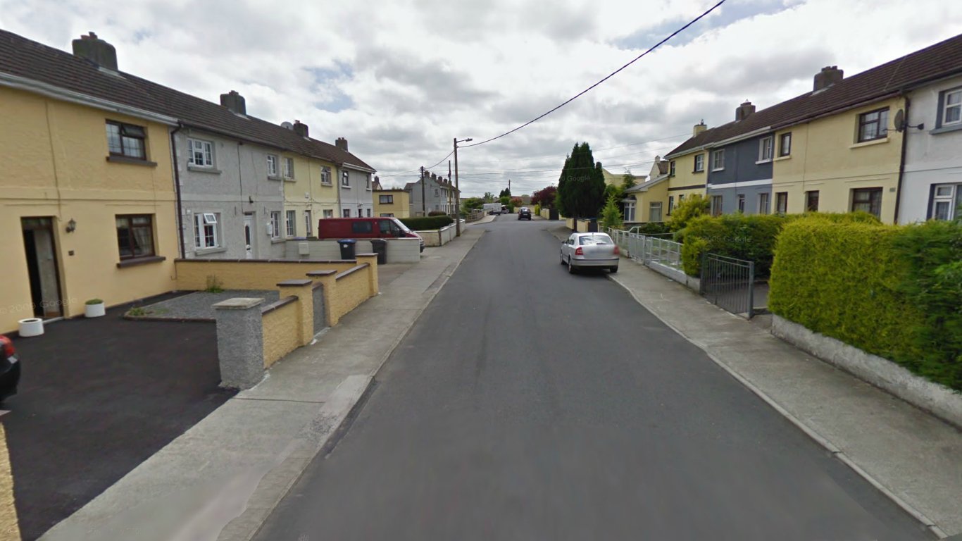
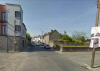
Henry Street c.2009.
Source:
Google Street Maps
|
Morrin's Lane viewed from
Maryborough Street. |
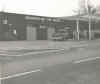
Graiguecullen Tyres Centre on the
Ballickmoyler Road 1980.
Source: Declan Alcock
|
-
-
Bridge Street,
Graiguecullen
|
-
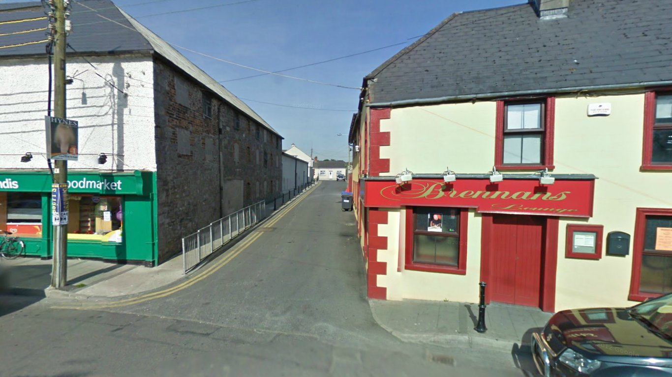
- Brennan's Lounge, Bar & Snug on the corner
Maryborough Street and Morrins Lane, Graiguecullen. Photo source Carlow.PL.
website.
|
-
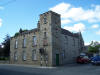
-
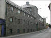
Tower Hill (now turned into apartments).
-
Image taken by Tom LaPorte
|
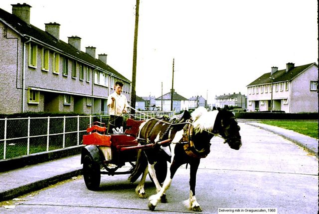
-
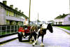
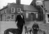
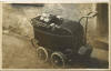
- Milkman delivering your milk in 1968 in
Governey Park housing estate, Graiguecullen.
Only one Horse Power and two wheels required!
- (Photo W. Muldowney)
|
-
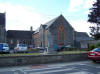
-
St. Clare’s Roman
Catholic Church, Graiguecullen
- Image taken by Tom LaPorte
|
-
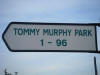
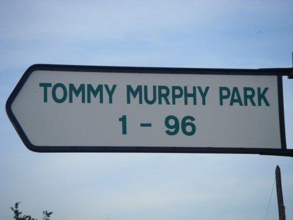
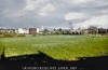
Tommy Murphy Park in Graiguecullen
|
-
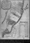
- The Finn Property of Graigue c.1782.
- (Click on map)
|
-
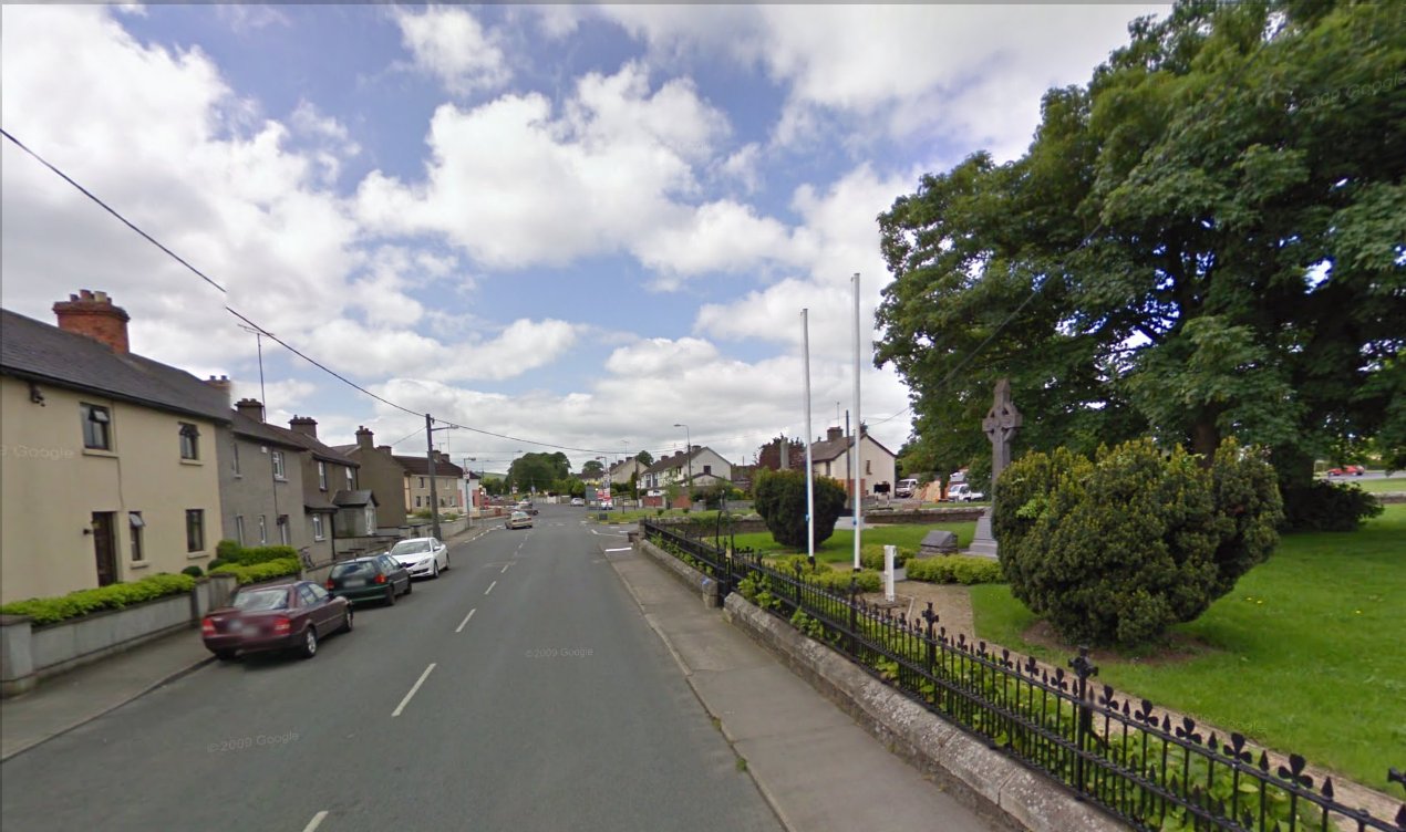
St. Fiacc's Terrace
|
-

-
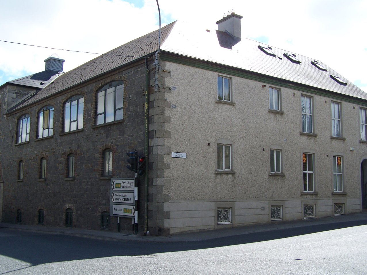
Junction of Chaff Street and Bridge Street,
Graiguecullen
- Image taken by Tom
LaPorte
|
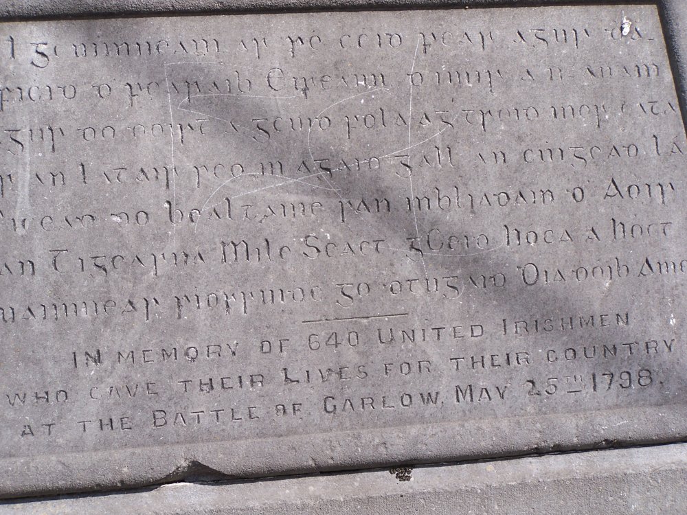
-
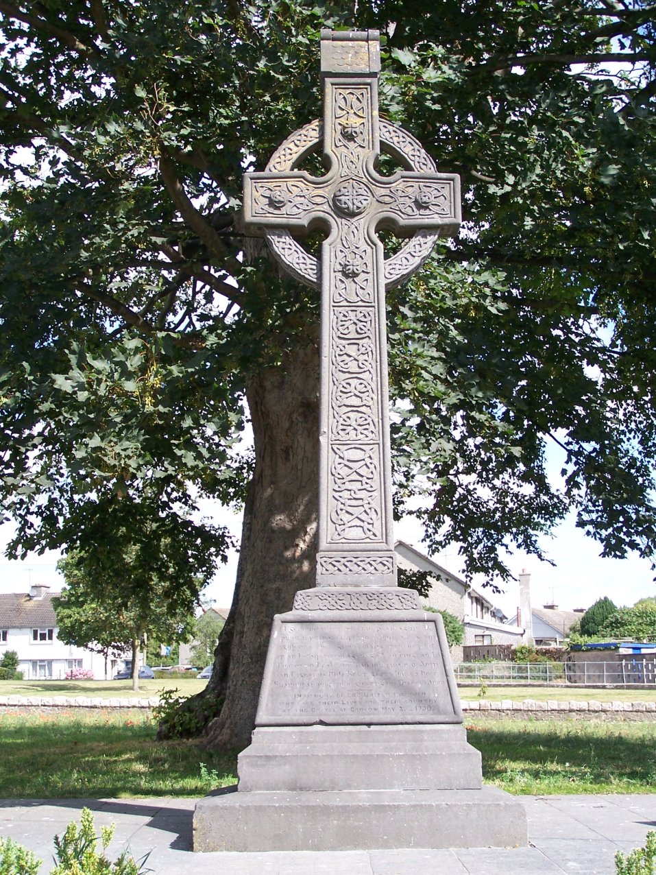
- The Croppy
Grave
- Image taken by Tom LaPorte
|
-
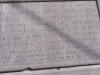
-
The Croppy Grave
plaque
- Image taken by Tom LaPorte
|
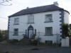
-
Behans Farmyard which used to be opposite Killeshin Church in
Graigue c.1968. The image on the right was the Farmhouse
(Photo W. Muldowney)
|
-

-
A family called Hayden used to live here in the
1960's. I went to school with Tommy Hayden. There used to be a
very large barn in the yard.
- Photo by M. Brennan
|
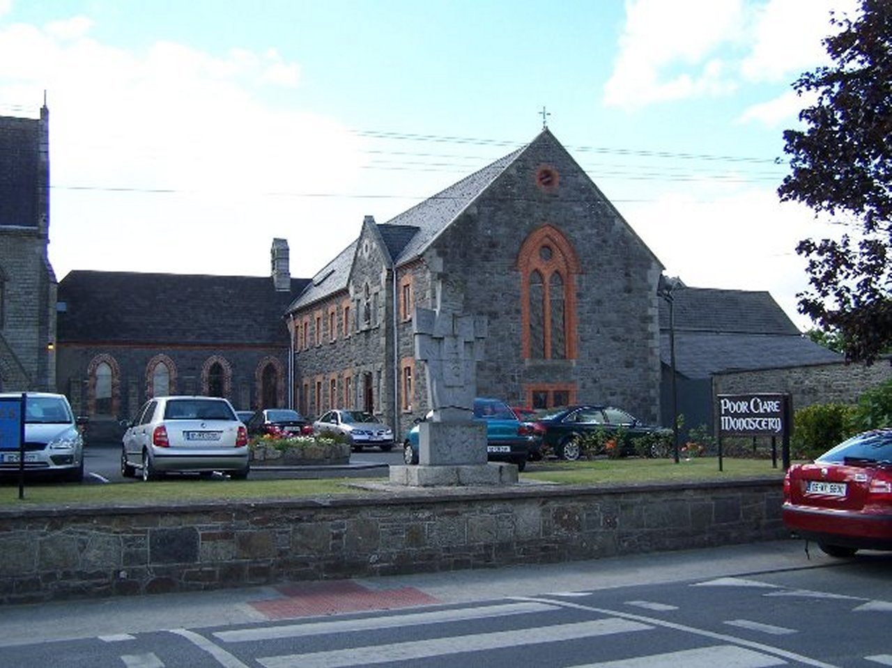
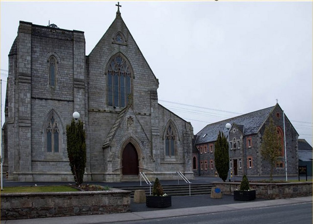
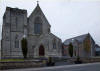
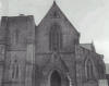 St. Clare’s
Roman Catholic Church, Graiguecullen known as the 'Church that moved across the River Barrow' and
was formally known as St.
Anne's Church. It was originally built in 1852 by John Derrick
See Article
St. Clare’s
Roman Catholic Church, Graiguecullen known as the 'Church that moved across the River Barrow' and
was formally known as St.
Anne's Church. It was originally built in 1852 by John Derrick
See Article
|
-

Sunday School in the grounds of the Killeshin Church, Graigue.
(Photo W. Muldowney)
|
-
Ballickmoyler Road at the junction of Church Road and the Saw Mill
in 1968.
(Photo W. Muldowney)
|
-
- St. Clare's RC Church. Graiguecullen.
|
-
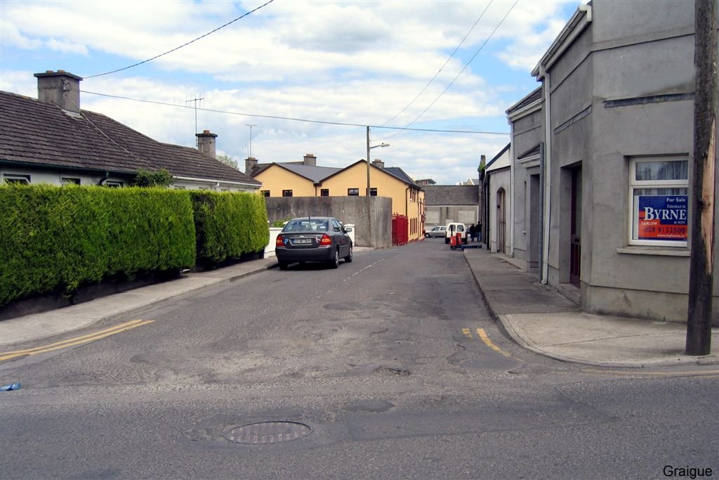
- Chaff Street, Graiguecullen
|
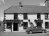
- Morrins Lane, Graiguecullen.
- The shop on the right was once know as
"The Hole in the Wall". It was where Pat Swan had his
first shop in the early 1960's. Where the window on he
corner there used to be a door and immediately behind
the door was an opening in the wall and you were served
through the opening.
|
-
Church Street c. 2011 looking
towards the Ballickmoyler Road. The garage in the background on the
left was where Brennans Forge used to be many years ago.
|

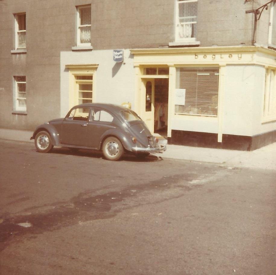
Begley's Store. It is the first building
around the corner from Graigue Bridge...today it is named "The Bridge
Take Away". The photo was taken July 1970. |
-

Henry Street at the junction of Maryborough
Street. Source Google Street Views
|
Anna
Nolan Gough's father with Garoid Bradley......walking the greyhounds
along Maryborough Street.
Source: Anna Nolan Gough (Facebook). |
-
- Castle View in Chaff Street opposite The Numbers.
- Source: Michael Cradden
|
-
- Photo taken from St Fiacc's Terrace,
looking across Chapel St, Graiguecullen
|
-
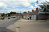
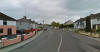
- The Numbers, Graiguecullen
|
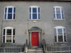
-
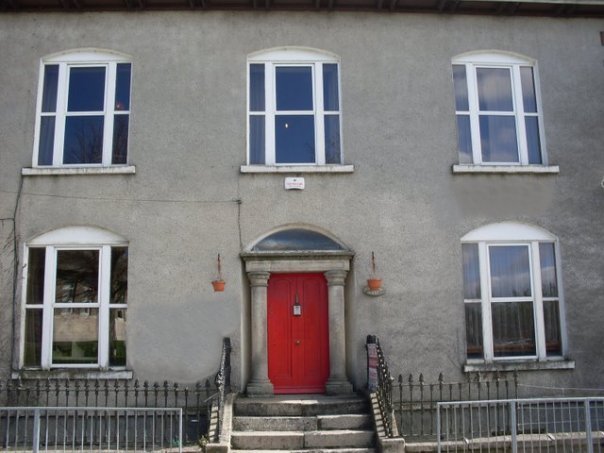
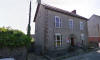
- Fr. Byrne's house
- Source: Anna Nolan Gough.
|
-
- Looking down Maryborough Street towards the
Bridge, Henry Street is on the right and the entrance to
O'Reilly's yard is on the left.
- Source: Google Maps
|
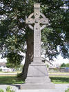
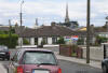
-

- Ninety-Eight Street leading to Church Street
with the 1798 Memorial on the right.
- Source: Google Maps
|
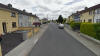
-
- 98 Street, Graiguecullen
|
-
-
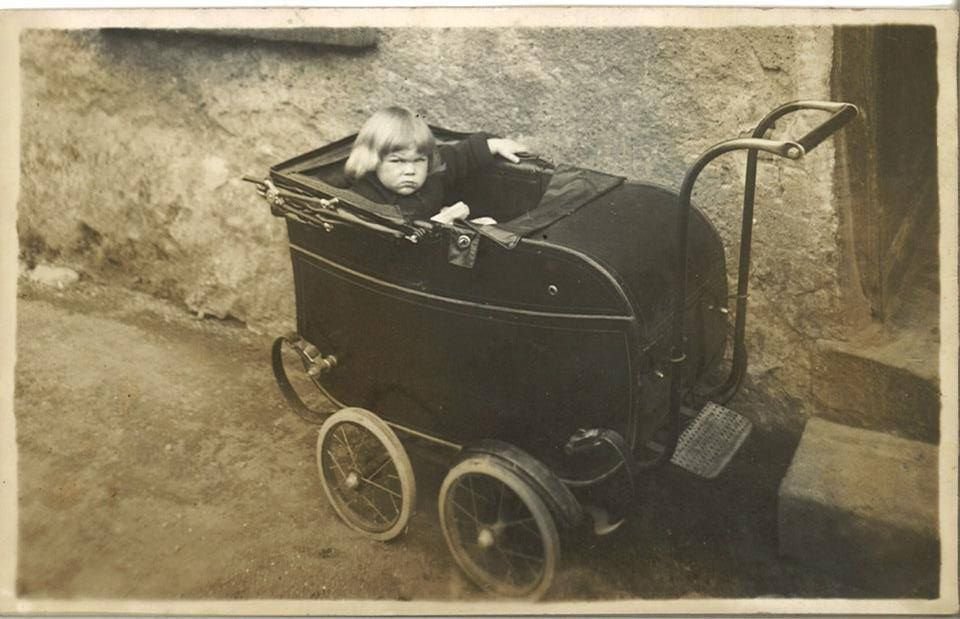
- Cozy Cot
- Source: Anna Nolan Gough.
|
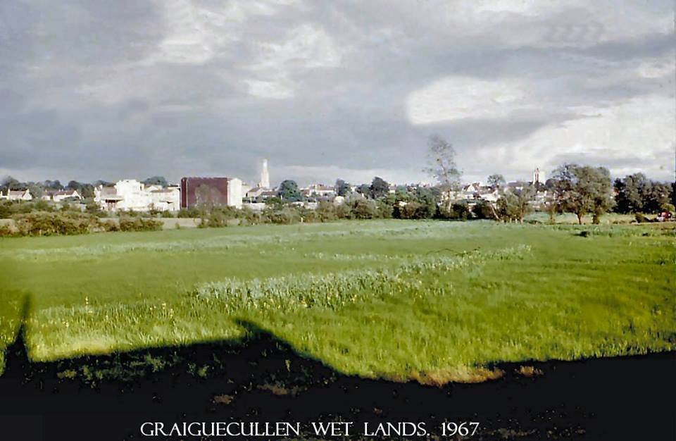
Graiguecullen Wet Lands c.1967.
Photo by
William Muldowney. |
|
|

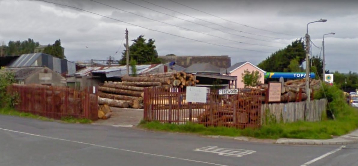
Graiguecullen Sawmills |
|