INDEX

Carlow County - Ireland Genealogical Projects (IGP TM)

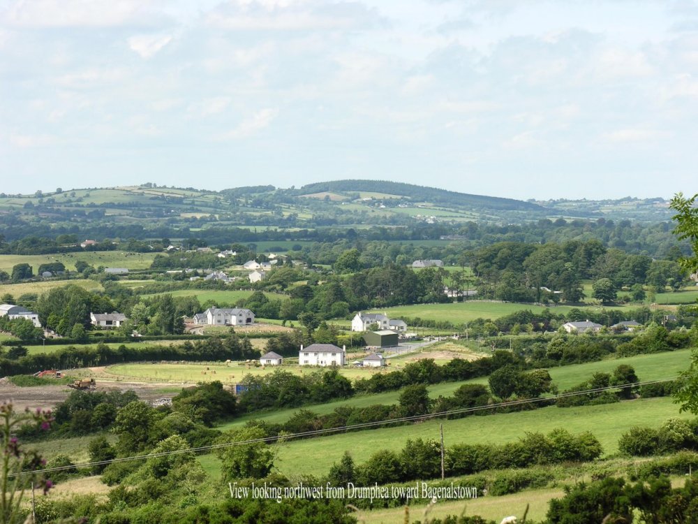
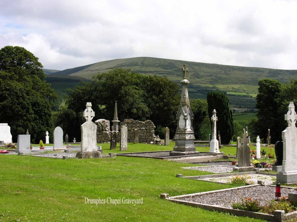
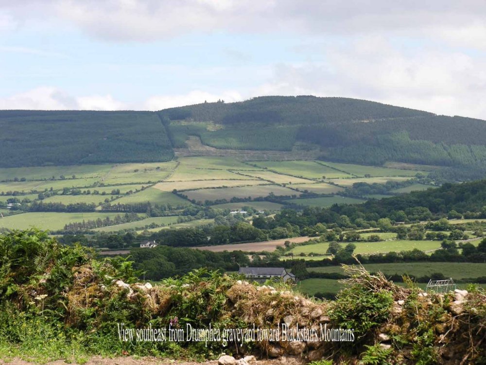
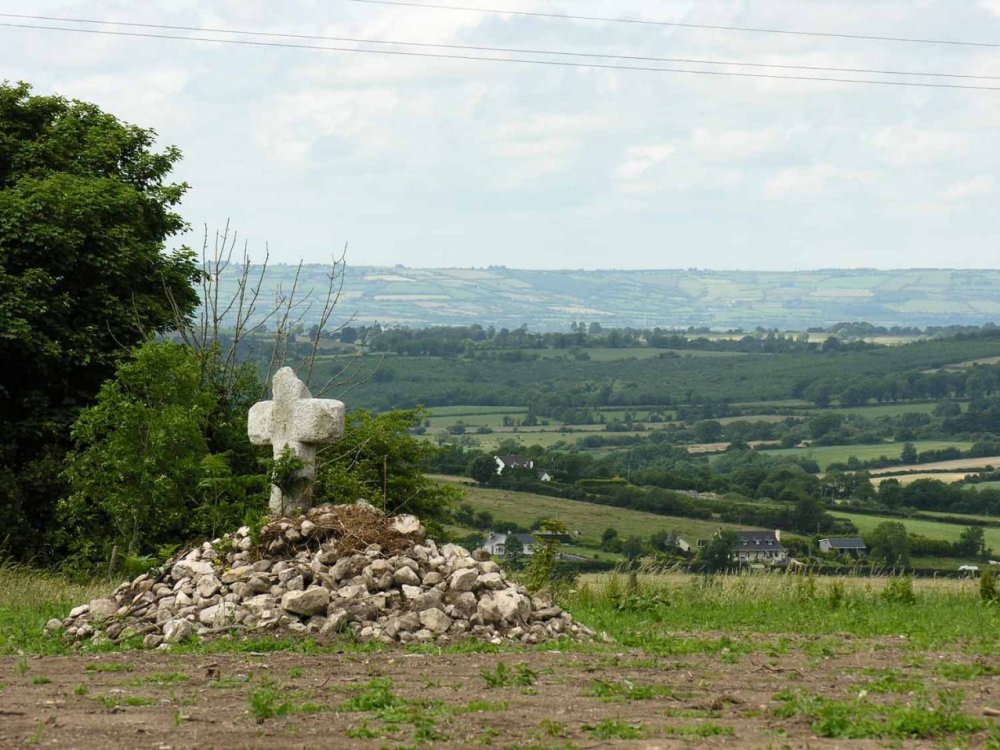
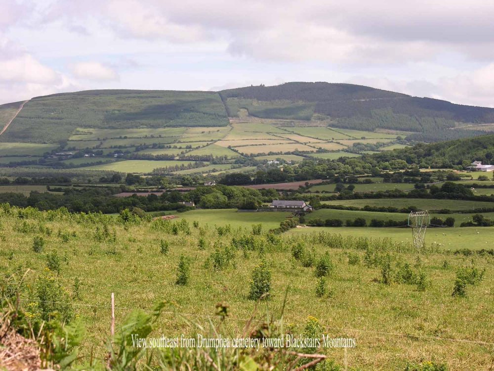
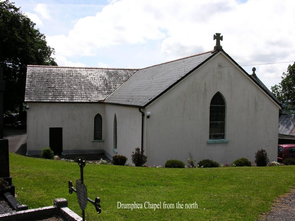
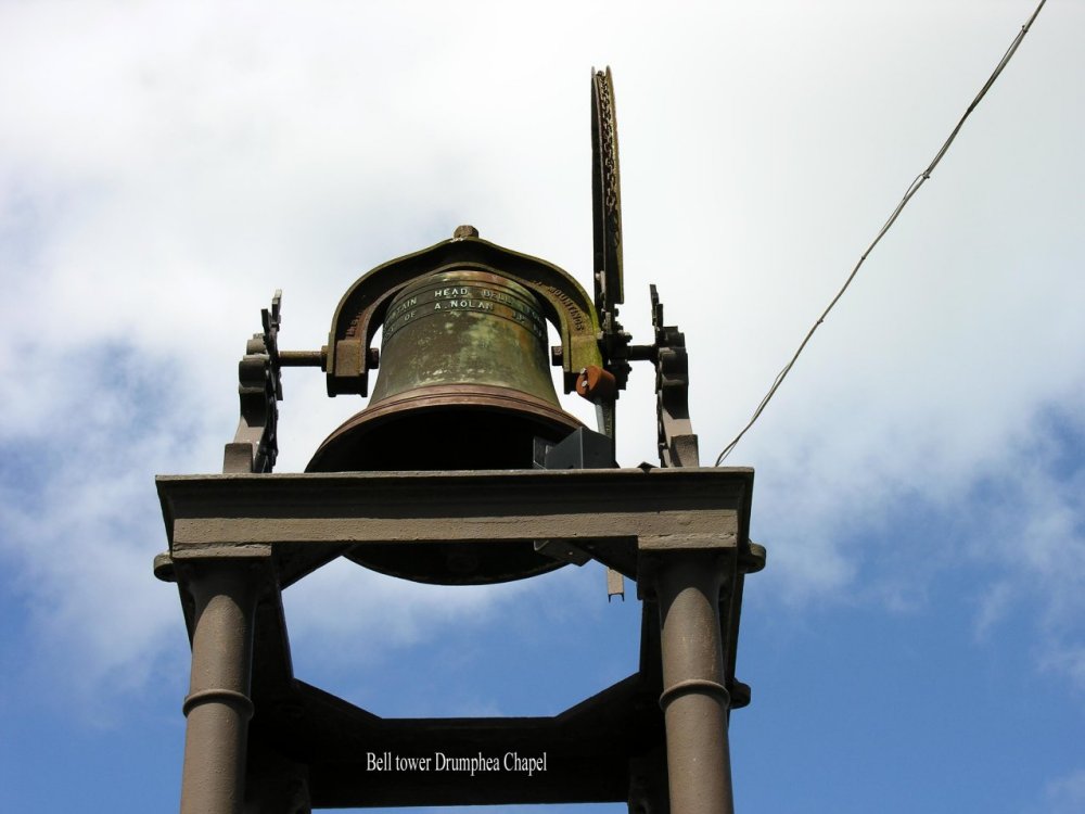
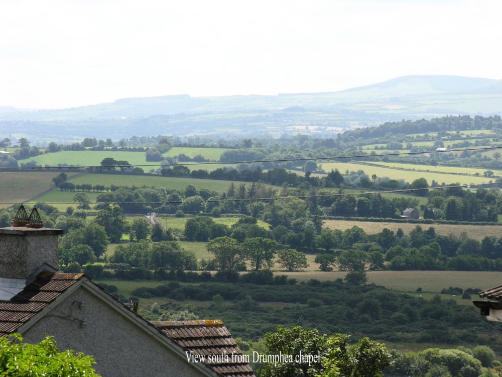
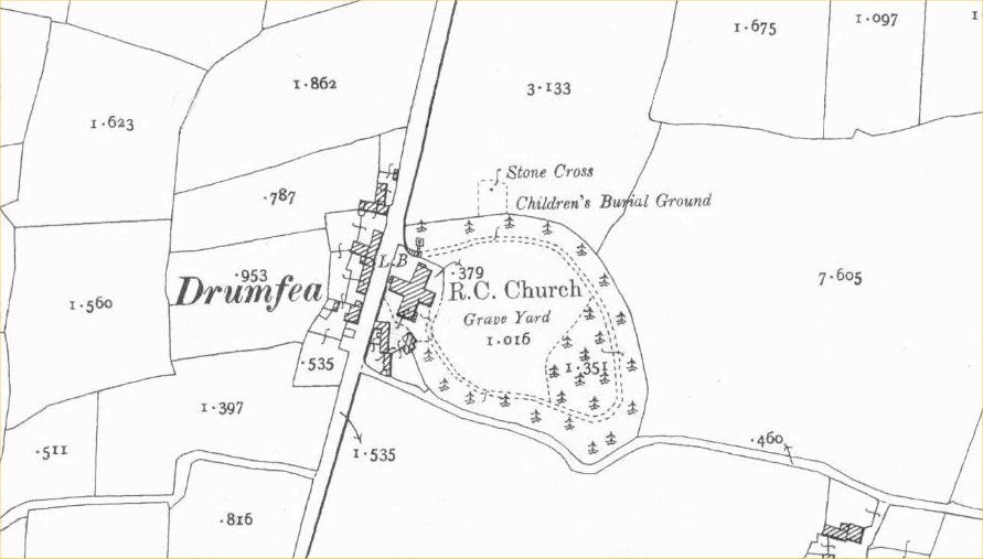
Drumphea
Co Carlow

Images supplied by  Thomas Reed tjreed@mail.widener.edu   c2006

View of Drumphea towards Bagenalstown
Drumphea Chapel Graveyard
View from Drumphea Graveyard towards Blackstairs Mountains
 Drumphea Chapel Graveyard
View from Drumphea Graveyard towards Blackstairs Mountains
Drumphea Chapel from the north
Bell tower Drumphea Chapel
View south  from Drumphea Chapel
Main Street Drumphea looking north
Drumphea Chapel West end
View west towards Kilkenny
Darcy memorial headstone in Drumphea cemetery
An osi map of Drumphea
 

The Tithe Applotment (1829) lists the townland as "Drumphea" as do more than fifty entries in the Myshall parish register up to 1852.  Griffiths PV uses the spelling "Drumfea" as do modern Ordnance Survey maps and the ever-correct Michelin Road Map of Ireland.  It was suggested back in 2001 that I use the earlier spelling.  Lewis Topographical Dictionary of Ireland ( at p.618) spells the townland as "Drumfey", a third variation.

Thomas Reed c2006

These Images are the property of Thomas Reed tjreed@mail.widener.edu 
Thes images are copyright and must not be copied without the owners permission.


Please report any images or broken links which do not open to mjbrennan30@gmail.com

The information contained in these pages is provided solely for the purpose of sharing with others researching their ancestors in Ireland.
© 2001 Ireland Genealogy Projects, IGP TM

TOP OF PAGE