TO ORDER A
TOWNLAND MAP
Past Homes have the entire Ordnance Survey First Edition 6
Inch Townland Maps as map sheets on CD Rom, as hard copy printed A1 sheets,
and as site-centred, gallery-quality A3 (approximately 16 by 11 inches)
prints of any specific location in Ireland. These stunning, full colour,
highly detailed maps make an ideal gift for any history enthusiast.
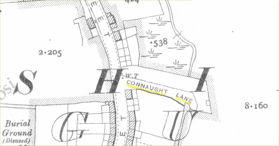
The Townland Map sheets were surveyed at a scale of six
inches to the mile and as a result are so detailed that they even show
individual buildings.
You can order your Townland Map online, using a credit card,
at www.pasthomes.com
-
Please report any images
or links which do not open to
mjbrennan30@gmail.com
- The information contained in these
pages is provided solely for the purpose of sharing with others
researching their ancestors in Ireland.
- © 2001 County Carlow
Genealogy IGP
Back to the top